QUILOTOA MAP
Quilotoa Satellite Map in the Andes Mountains
Quilotoa Satellite Map in the Andes Mountains
Geographic Coordinates of Quilotoa: 0° 51′ 40.3″ S, 78° 53′ 50.23″ O
Geographic Coordinates of Quilotoa (Decimal): -0.861194, -78.897286
| Quito - Quilotoa | 179 kilometers south-east of Quito (capital). |
| Guayaquil - Quilotoa | 296 kilometers north-east of Guayaquil. |
| Cuenca - Quilotoa | 427 kilometers north of Cuenca. |
Jataló access for the Quilotoa Lagoon
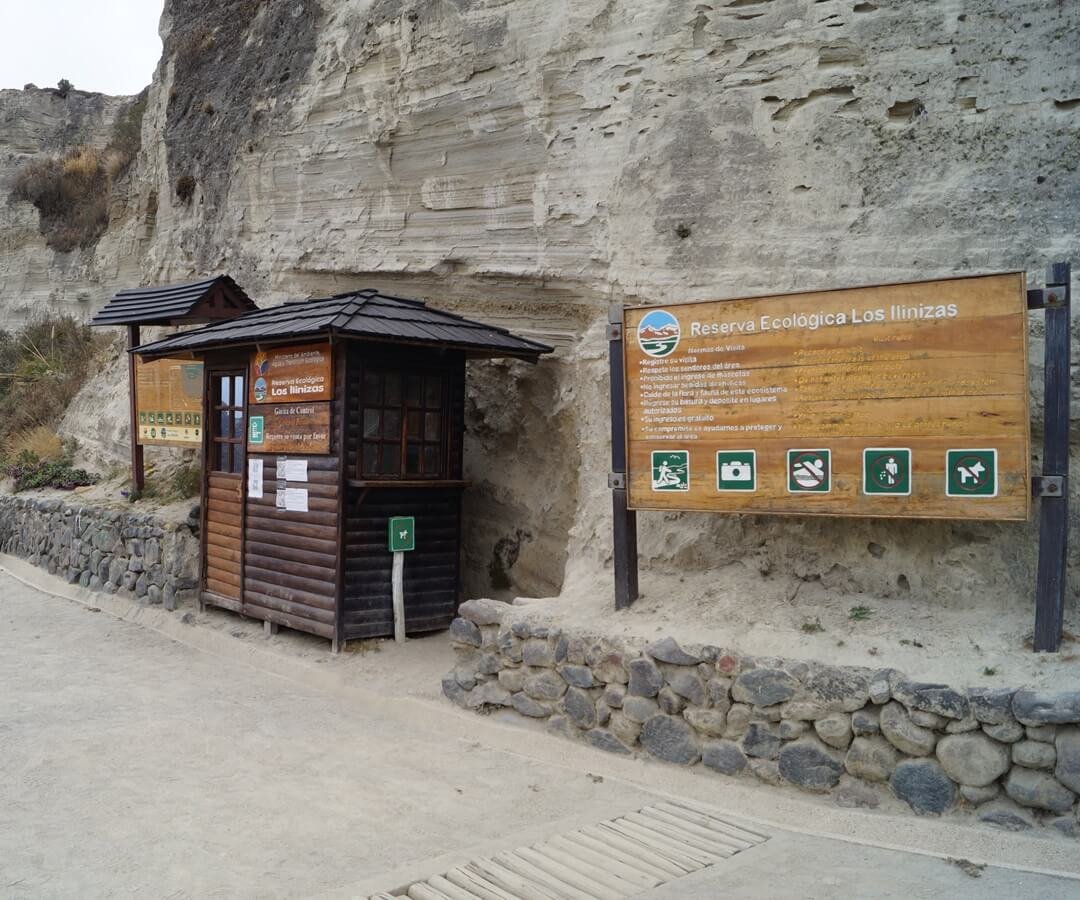
Rangerparks of the "Los Ilinizas Ecological Reserve" manage the access to the Quilotoa Lagoon and has no cost. Get there by Quilotoa Lagoon Trail. "Quilotoa community village" entrance cost $2.
✔ Only requires registration at the time of entry (You may be requested to present a Personal ID or Passport).
The entrance to the community and the Main Viewpoint of Quilotoa is wheelchair accessible.
From Quito you can visit Quilotoa in one day traveling on a private tour or by your own car. The public bus is the cheapest option, although the trip is slower due to stops, connections and transportation schedules.
There are several options to visit the Quilotoa Volcano Lagoon in the Ilinizas Ecological Reserve.
You can travel by your own car, public bus or on a private tour. Each of the three options has its benefits and disadvantages, which vary depending on the itinerary and preferences of each traveler.
Consult our complete guide about directions and routes to travel to Quilotoa: